I know. I haven't been making any entries lately. I've been . . . distracted heh. Anyway - the weather is turning cooler and we are getting out to new places. We've discovered "The Desert". woo hoo! Since that trip last year to Joshua Tree, we've fallen in love with the desert. As dead as it looks, it's actually very much alive!!
Trip Reports abound. Here's the first.
Mid September we decided to see what was in the desert just north of our mountain home.
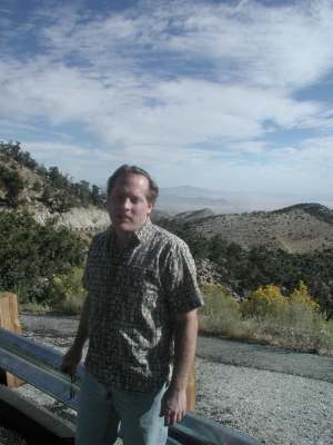
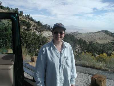
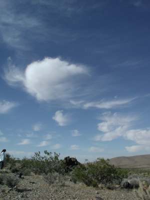
We started the trip by leaving the mountain via Big Bear, Cactus Flats area. It was a pretty morning so we stopped on the way down and took some pictures.
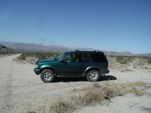
We got to Camp Rock Road just as it turned north east and stopped to air down and take off the anti-sway bar. Not too much further on the road we found some signs. We stopped to read them and take some more pictures. The sign says:
"The Ord Mountain Vehicle Network
The Ord Mountain region was identified in 1995 as a study area for a vehicle access network, which will identify open routes of travel and which will eventually involve the entire western Mojave Desert.
The completed Ord Mountain Vehicle Network which you find here is the result of many hours of hard work. Many agencies and groups have been involved. What they have in common is a strong interest in conserving public land resources for the use and enjoyment of the American people.
We need your help. You are involved in this project because you are a responsible visitor to the Ord Mountain public lands. Please do your part. Respect these signs, these public lands, and the importance of staying on these designated, signed, and Open trails.
Protect the public lands for future generations.
This vicinity is known for its off-highway vehicle (OHV) recreational opportunities. Heavy recreational use is expected in, and is appropriate to, the Stoddard Valley and Johnson Valley OHV Recreation Areas, located on either side of the Ord Mountain region.
This immediate area is also important to wildlife. The desert tortoise is a federally-protected, threatened species and is found throughout the area. In 1994, the Ord Mountain region was designated as a critical habitat for the desert tortoise. As a result, a recovery plan was later issued recommending the Ord Mountain region as a Desert Wildlife Management Area. The route network found here serves to reduce vandalism and to encourage respect for private property. It also benefits the desert tortoise, and other area wildlife, while providing quality vehicle access for recreational needs.
For more information, please contact:
The Bureau of Land Management, Barstow Field Office
2601 Barstow Road, Barstow, California 92311
Telephone (760) 252-6000"
Whew. That was a mouthful. But I wanted to point out one thing and figured I might as well type up the whole board. Our initial reaction to federally protected desert tortoise habitat in the middle of an OHV area kind of blew our minds. We would later learn that it is possible for the two to co-exist. But for now, we were just thinking "Yeah right!" heh.
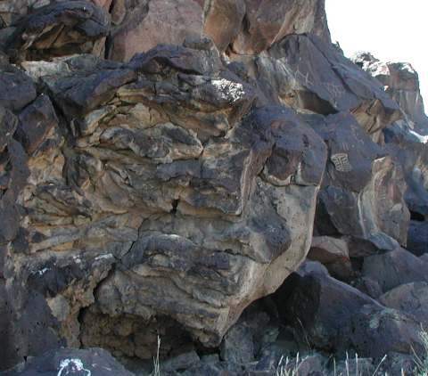
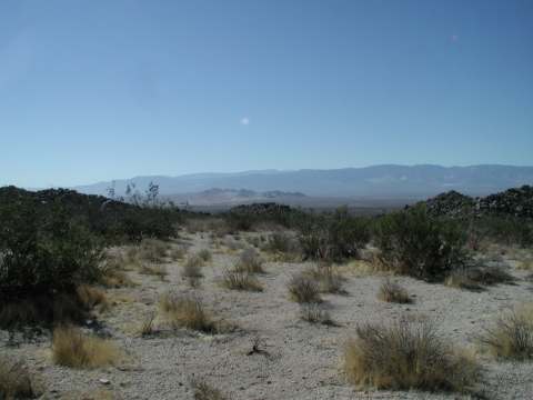
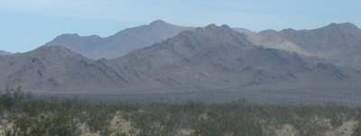
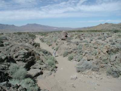
We had forgotten to bring a list of things to see (including directions) so we would just follow our noses for the day. We stopped to admire the landscape. Notice how the hill is folded in bands.
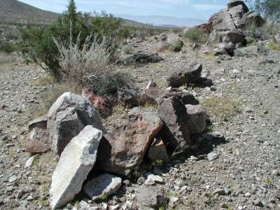
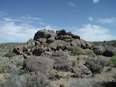
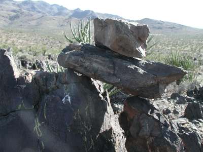
Driving on we decided to take a side road leading to a place called "Cinder Pit". Sounded interesting so off we went. We stopped a couple times to admire the views and take walks. The first one gave us plenty to admire.
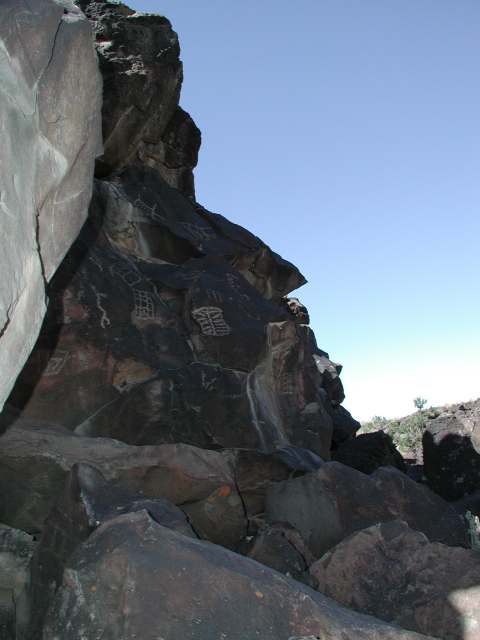
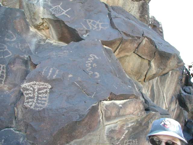
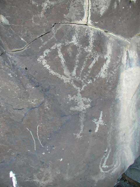
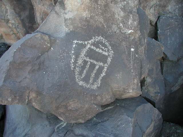
We drove a bit further and stopped to see if we could find some petroglyphs here. We didn't.
On the way back to the truck, a group of motorcycle enthusiasts stopped to ask us directions to the Rodman Petroglyphs. We didn't know where they were and told them we were looking too. After talking for a bit they rode on and we followed slowly behind. I'm pretty sure they found them. We didn't on this trip though.
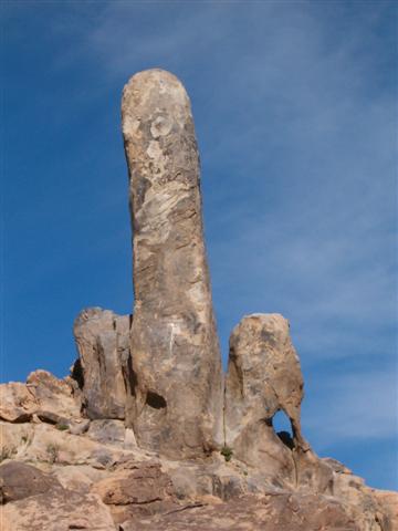
The road became partly paved, then paved, then dirt again. Then we rounded a hill and saw this.
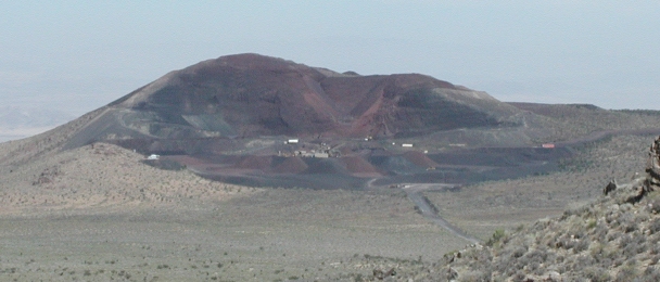
We would drive right up to the locked gate before turning around and finding our way back out. It was a nice side trip. We were almost back to Camp Rock Road when I noticed something big and dark in the road. I told Sean "Slow down! What's that??" It was a desert tortoise! We couldn't have been more surprised. It then occured to us that it would be harder than we thought to run one over by mistake. They are big! They would be hard to miss if you were watching where you were going.

We quickly left him as we didn't want to worry him.
Onward and forward. We decided to finish traveling Camp Rock Road. Then we took the I-40 east thinking we would be able to get to the lava fields (NOT) and ended up turning around at Landers and heading BACK to Camp Rock Road.
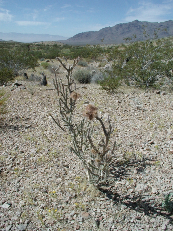
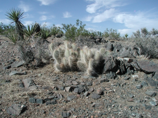
The last excursion was to East Ord Mountain - the road, not the peak lol. We stopped and had a tail gate lunch there. Now this is kinda cool. Sean had tried to make a dog ramp for Solo but it ended up not getting used. Well, one day I was sitting there looking at it and had a bright idea. If we put a leg on one end, when it was attached to the tail gate it would make a great table! So we use that for a table now. Cool beans huh? I didn't get a piccy though. D'oh. However I did take some shots of some cactus.
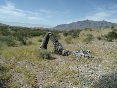
And the last few pictures before we left.

We decided since we hadn't found the petroglyphs that we would come back another day. We did return in October. I'll have a report on that one later.
Hope you enjoy reading this as much as we did driving it!!